A High-Tech Way To Save Whales
A new app, created by a consortium of top marine groups, is designed to crowd-source conservation and save whales from deadly ship strikes.
By Vicki Croke
Eavesdropping on whales is just one feature of a significant new bit of technology coming out today.
 An iPad/iPhone app created by a consortium of some of the heaviest hitters in marine conservation is designed to get everyone—mariners, land lovers, and even the sea creatures themselves, involved in saving whales—particularly from deadly ship strikes.
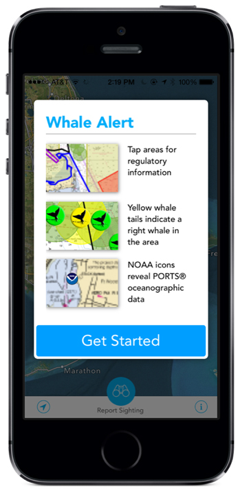
The creators of the Whale Alert 2.0, a free download from the App Store, say that it is the first national whale-saving application, and that it’s designed to track whales and to help keep them safe. For the most part, that means preventing one of the leading causes of whale mortality—ship strikes.
Vicki talks to Robin Young about the new Whale Alert app on Here & Now.
But it’s also a “crowd-sourcing” app that invites users to get involved—sighting and identifying whales. It blends several high-tech elements—it’s like an air traffic control tower mixed with GPS driving directions mixed with a social networking site.
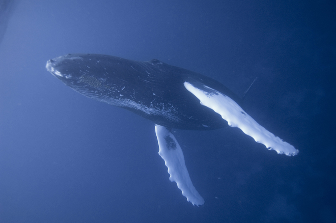
A humpback whale in the Silver Banks, Dominican Republic. Photo and sounds courtesy of IFAW.
Everyone in or around the water can track and identify whales and thereby help keep them out of danger. By knowing where individual whales are, the app can actually warn ships to slow down or change course as they approach hidden animals.
Whale Alert displays nautical charts with real-time data, so that when boaters see a whale out in the water, they can report the sighting and pinpoint the spot.
It has many features to help pilots of big cruise or container ships avoid whales.
Patrick Ramage, the director of the global whale program at the International Fund for Animal Welfare, (IFAW is one of the apps creators), explains:
“What Whale Alert does is enables the mariner to have real-time heads up display of the presence of whales that have been sighted in the area, immediate one-stop shop access to the various regulatory measures that are in place with which they need to comply. It consolidates various sources of information distracting incoming information that’s been bombarding the mariner as he’s trying to safely navigate the vessel, into a single application.”
A ship’s pilot can immediately learn several things: he or she can see if there’s a whale nearby, know if the ship is in a whale management area, what the speed regulations are there, and find a recommended route.
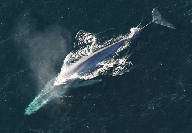
A blue whale surfaces. Photo courtesy of NOAA. Sounds courtesy of IFAW.
People on shore can contribute by entering information—including uploading pictures of whales they’ve seen. The Whale ID Guide helps users classify the species of whale being observed, based on several things, including location, and then sightings are added to the database. Users can also report sightings of dead, stranded, or entangled whales.
The creation of the app involved a number of conservation groups and government agencies including the International Fund for Animal Welfare, the National Oceanic and Atmospheric Administration, the Office of National Marine Sanctuaries, and Point Blue, which is a science and conservation group, among others.
Consortium members are also providing ongoing support—people behind the scenes who will filter, translate, and organize the data.
One of the most interesting elements is that whales themselves, North Atlantic right whales, anyway, can also input information. They’ve already been doing it with Whale Alert 1.0. Here off the coast of Massachusetts, in the Stellwagen Bank National Marine Sanctuary, there are 12 acoustic buoys set up. When a right whales vocalize near one of them the sound is detected by the buoys and the information is entered in real time on the app.
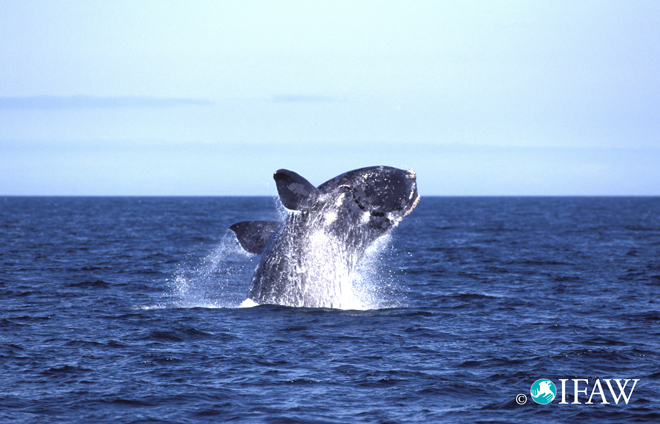
A North Atlantic right whale breaching. Photo and sounds courtesy of IFAW.
Patrick Ramage explains how this works:
“Right whales have a distinct sound that they make and there’s an algorithm that has been developed, IFAW scientists helped develop that algorithm, it can detect a right whale up-call, and when that distinct sound is picked up by these acoustic buoys, they automatically trigger a report that is immediately integrated, validated by the federal government, and integrated into the Whale Alert’s application.”
That’s the part that I think is a little like any social networking site where you “check in” and everyone can see where you are and what you’re doing. For the whales closer to shore, that often means they’re feeding, which is what my friends on Facebook are also often doing when they post.
Whale Alert 2.0 is a beefed-up version of the Whale Alert 1.0, which the consortium considers very successful. Ramage says they’ve received good feedback from the mariners who’ve used it.
And in recent years, ship strikes on North Atlantic right whales have been reduced. That’s due to several factors, including the fact that ship speeds have been reduced in key areas.
North Atlantic right whales congregate near shorelines and feed close to the surface of the water, which makes them especially vulnerable to ship strikes. They are highly endangered animals. It’s estimated that there are only about 450 of them left in the world—a tiny population. And for this species, ship strikes are the number one mortality factor.
The new Whale Alert expands the program’s reach to both coasts and includes many species of whale, including humpback and sperm whales, blue whales, gray whales, and fin whales, among others.