Published September 9, 2010
10 bucks' worth of MBTA apps on my iPhone
An exciting announcement today for anyone who waits for rides the bus: Real-time GPS tracking data is now available for all MBTA routes, serving 47 cities and towns.
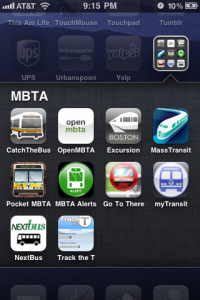
That means app developers can write software to help commuters pinpoint the exact location of their next bus. The MBTA has dusted off an App Showcase page that lists 10 such programs.
To spare you the time and expense of trying them all, I will download, test and review each and every app — except, unfortunately, the Android apps. (You’ll have to tell me which ones you like.)
Get ready, get set…
____
Catch The Bus (iOS app, $0.99, iTunes)
Fast, simple interface. Choose your route, tap your stop, and a big number displays how many minutes you have to wait. The auto-refresh is nice, but I didn’t realize the feature existed at first because there is no way to tell it’s “live.” A map of each route is provided to help you identify the closest stop. This is handy, but you have to know your route first; an automatic “find the closest bus” feature would be stellar. Also, it would be useful (or maybe just cool) to see the exact location of your bus as a pin on the map.
Get the rest of my mini reviews after the jump. Or if you’re impatient, you can jump to the conclusion.

 Think of it like a Zagat guide for the economy that’s updated eight times a year. The